
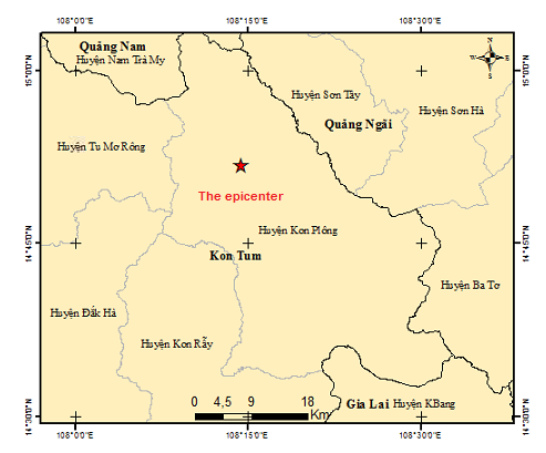
An earthquake occurred at 08:38:42 Hanoi Time (GMT+7) on Thursday, September 02, 2021, with a magnitute of 3.0, focal depth about 12km. The epicenter was located (14.8630N, 108.2400E) in Kon Plongdistrict, Kon Tum province). The level of disaster risk is 0.
Vietnam Earthquake information and Tsunami warning center will continue monitoring this Earthquake.
FOCUS OF EARTHQUAKE MAP
Hanoi, September 02, 2021.
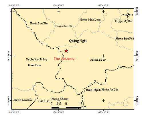
An earthquake occurred at 07:38:47 Hanoi Time (GMT+7) on Thursday, September 02, 2021, with a magnitute of 2.5, focal depth about 10 km. The epicenter was located (14.7800N, 108.5420E) in Ba To district, Quang Ngai province). The level of disaster risk is 0.
Vietnam Earthquake information and Tsunami warning center will continue monitoring this Earthquake.
FOCUS OF EARTHQUAKE MAP
Hanoi, September 02, 2021.
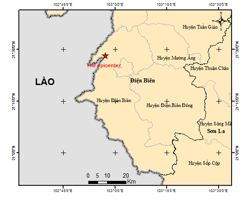
An earthquake occurred at 19:14:37 Hanoi Time (GMT+7) on Wednesday, August 25, 2021, with a magnitute of 2.6, focal depth about 8 km. The epicenter was located (21.4700N, 102.9540E) in Dien Bien district, Dien Bien province). The level of disaster risk is 0.
Vietnam Earthquake information and Tsunami warning center will continue monitoring this Earthquake.
FOCUS OF EARTHQUAKE MAP
Hanoi, August 25 2021.
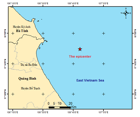
An earthquake occurred at 23:18:43 Hanoi Time (GMT+7) on Saturday, August 21, 2021, with a magnitute of 3.0, focal depth about 8 km. The epicenter was located (17.8720N, 106.8080E) in the East Vietnam Sea(About 30 km far from the offshore Quang Trach district, Quang Binh province). The level of disaster risk is 0.
Vietnam Earthquake information and Tsunami warning center will continue monitoring this Earthquake.
FOCUS OF EARTHQUAKE MAP
Hanoi, August 21 2021.
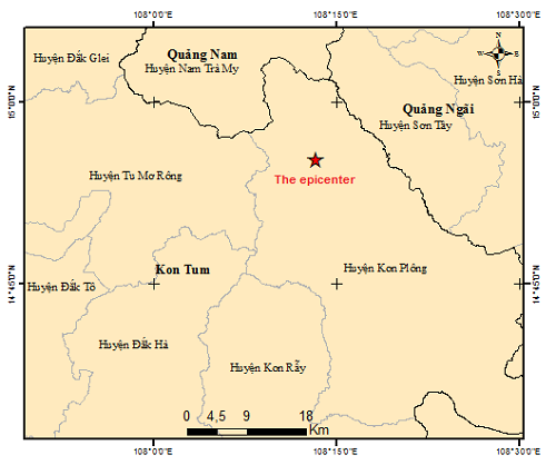
An earthquake occurred at 16:11:15 Hanoi Time (GMT+7) on Saturday, August 07, 2021, with a magnitute of 2.8, focal depth about 17 km. The epicenter was located (14.9200N, 108.2220E) in Kon Plong district, Kon Tum province. The level of disaster risk is 0.
Vietnam Earthquake information and Tsunami warning center will continue monitoring this Earthquake.
FOCUS OF EARTHQUAKE MAP
Hanoi, August 07 2021.
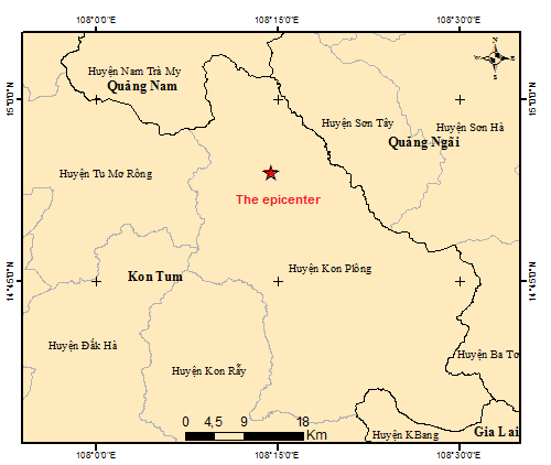
An earthquake occurred at 21:04:36 Hanoi Time (GMT+7) on Friday, August 06, 2021, with a magnitute of 2.6, focal depth about 7.6 km. The epicenter was located (14.9000N, 108.2410E) in Kon Plong district, Kon Tum province. The level of disaster risk is 0.
Vietnam Earthquake information and Tsunami warning center will continue monitoring this Earthquake.
FOCUS OF EARTHQUAKE MAP
Hanoi, August 06 2021.
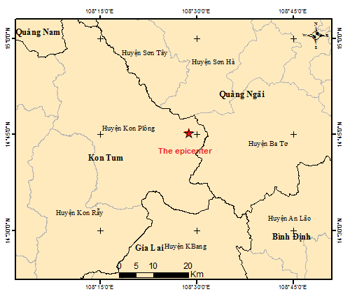
An earthquake occurred at 15:11:54 Hanoi Time (GMT+7) on Friday, August 06, 2021, with a magnitute of 2.6, focal depth about 8.2 km. The epicenter was located (14.7550N, 108.4800E) in Kon Plong district, Kon Tum province. The level of disaster risk is 0.
Vietnam Earthquake information and Tsunami warning center will continue monitoring this Earthquake.
FOCUS OF EARTHQUAKE MAP
Hanoi, August 06 2021.
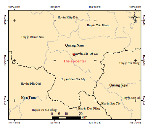
An earthquake occurred at 10:07:47 Hanoi Time (GMT+7) on Friday, August 06, 2021, with a magnitute of 2.9, focal depth about 10.9 km. The epicenter was located (15.2890N, 108.1200E) in Bac Tra My district, Quang Nam province. The level of disaster risk is 0.
Vietnam Earthquake information and Tsunami warning center will continue monitoring this Earthquake.
FOCUS OF EARTHQUAKE MAP
Hanoi, August 06 2021.

